Earthworks modeling
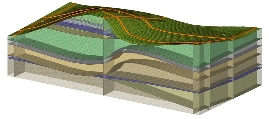
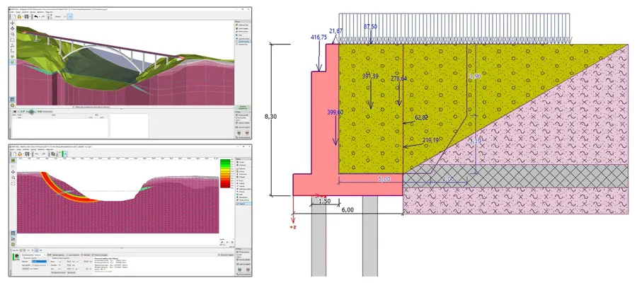
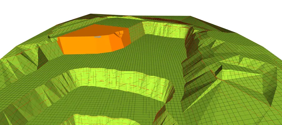
Using the additional module Stratigraphy – Earthworks, various modifications can be made to the finished 3D model; e.g., excavation for foundation pits, embankment construction, modeling of linear or surface structures. In each construction phase, it is possible to calculate excavation and embankment volumes or to calculate the change in water volume above ground level.