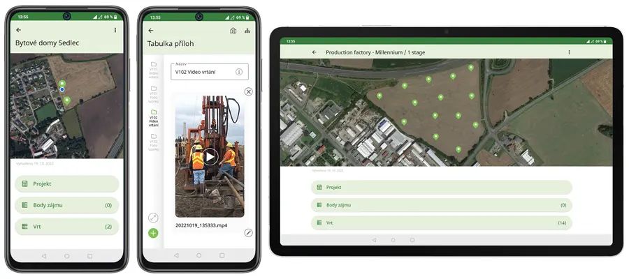
GEO5 Data Collector is a mobile application used for collecting data in the field or laboratory, and you can use it with a mobile phone or tablet. The application uses Stratigraphy templates and allows data entry in the field, using maps and GPS, adding images, videos, or audio recordings. The mobile application and the Stratigraphy and Laboratory programs can then exchange this data. The application is available on Google Play and for iOS.
The Point Cloud program allows for the input and processing of point clouds (up to 100 million points) and their export to the Stratigraphy program. Simple editing tools are available for removing structures and vegetation, modifying water surfaces, and reducing the number of points.
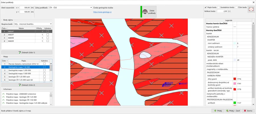
The Stratigraphy program allows the retrieval of cartographic information and borehole investigations from public sources. Results from certain geological investigations have been entered into the program. All field investigations can be entered; e.g., boreholes, wells, CPTs, SPTs, pressiometers, dilatometers, etc. Data can be entered directly or imported into the program via a wide selection of formats.
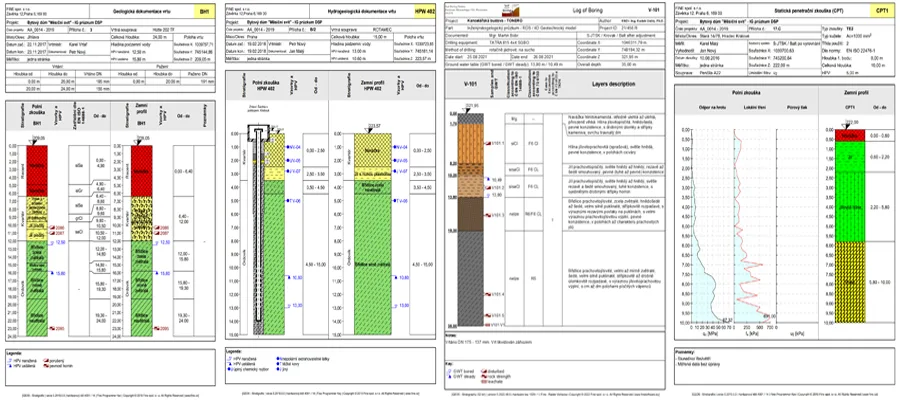
Detailed geological documentation can be printed or exported for all entered data.
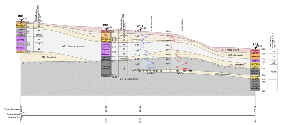
The additional module "Stratigraphy - Reports" allows for the generation of a set of templates for all types of tests. The entire data entry system is user-defined; the user selects the data for input and how they wish to print it.The Stratigraphy – Cross-sections add-on module adds specialized settings for printing and exporting geological cross-sections. The creation of cross-sections is similar to that in CAD programs, but significantly simpler due to direct generation from the 3D model.
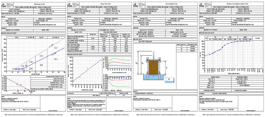
The "Laboratorij" program offers effective processing and analysis of laboratory tests for soil and rocks. Data can be imported and exported to files in various formats or exchanged with the "Data Collector" mobile application.